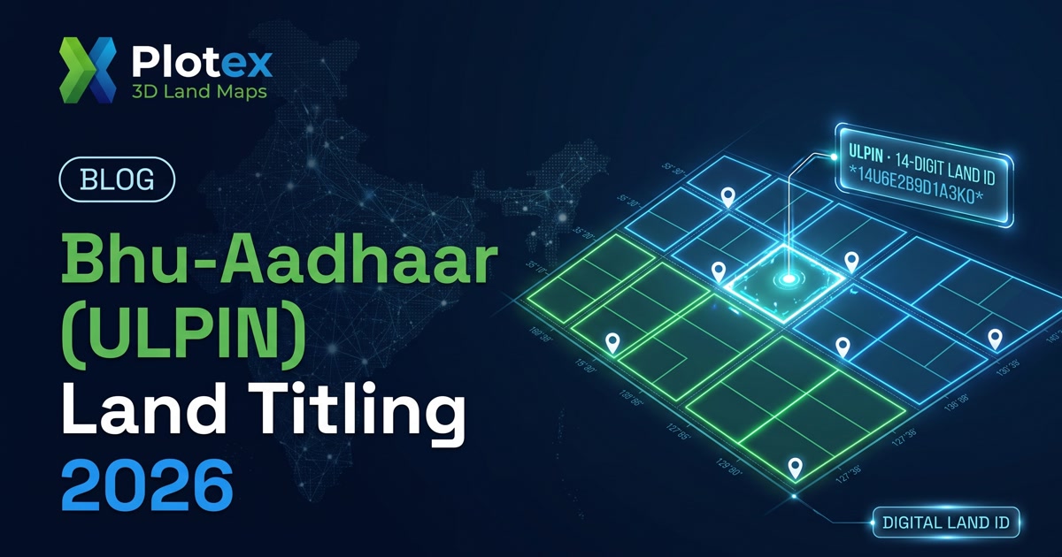
If you've bought or researched a plot in India recently, you may have seen a new 14-digit code creeping onto land records — the Bhu-Aadhaar, or Unique Land Parcel Identification Number (ULPIN). It's being rolled out fast, it's genuinely useful, and it is also widely misunderstood. The dangerous misreading is this: "the plot has a Bhu-Aadhaar, so the title must be clean." That is not what it means — and believing it can cost you.
This guide explains what a ULPIN actually is, what it does and does not prove, where the 2026 rollout stands, how it connects to India's slow shift from presumptive to conclusive land titling, and exactly how to use Bhu-Aadhaar in your plot due diligence instead of being lulled by it.
Quick takeaway: A ULPIN / Bhu-Aadhaar is a permanent, geo-referenced identity for the parcel — it tells you which piece of land, unmistakably. It does not tell you who owns it or whether the title is dispute-free. India still runs mostly on presumptive titling (possession-based), not government-guaranteed conclusive title. Use the ULPIN to pin down the exact parcel, then verify ownership, encumbrances and approvals separately — the number is a foundation, not a guarantee.
What Bhu-Aadhaar (ULPIN) Actually Is
The Unique Land Parcel Identification Number is a 14-digit alphanumeric code that assigns every land parcel in India a single, permanent, nationally recognised identity — the reason it's nicknamed "Aadhaar for land." Crucially, it is derived from the parcel's geographic coordinates (latitude and longitude), captured via GPS or high-resolution satellite mapping and geo-referenced cadastral maps, and it complies with international geospatial standards (ECCMA and OGC).
It sits within the Digital India Land Records Modernization Programme (DILRMP). The problem it targets is real and enormous: India has over 600 million land parcels, and until recently every state tracked them with its own mix of survey numbers, khasra numbers, patta numbers and more — systems that rarely spoke to each other. A single national parcel ID is the connective tissue that makes land records interoperable across departments, banks and states.
What It Proves — and What It Doesn't
This is the heart of the matter for a buyer. A ULPIN is powerful for identity and weak-to-silent on ownership:
| A ULPIN / Bhu-Aadhaar does… | A ULPIN does NOT… |
|---|---|
| Uniquely identify the exact parcel by geo-coordinates | Prove who legally owns the land |
| Give adjacent plots distinct IDs, easing boundary disputes | Confirm the title is free of disputes or claims |
| Make mutations harder to fake and records interoperable | Reveal loans, mortgages or encumbrances |
| Link a parcel across the record, deed and map | Replace title verification, EC or legal scrutiny |
| Provide the base layer for future conclusive titling | Guarantee ownership the way a conclusive title would |
In short: a ULPIN ends the "which plot are we even talking about?" ambiguity. It does not end the "who owns it and is it clean?" question — and that second question is where plot money is actually lost.
An analogy helps. Think of a ULPIN like the vehicle chassis number stamped on a car: it uniquely and permanently identifies that specific vehicle, and it makes theft and duplication much harder. But a chassis number tells you nothing about whether the seller actually owns the car, whether there's a loan against it, or whether it's been in an accident. You'd still check the registration certificate, the loan status and the service history before buying. Land is the same — the ULPIN is the chassis number of the parcel, and the title chain, encumbrance certificate and approvals are the ownership and history you still have to verify yourself.
Presumptive vs Conclusive Titling — Why It Matters
India largely operates a presumptive titling system: land records reflect a presumption of ownership based on possession and the chain of past transactions, and that presumption can be challenged in court. This is a big reason property litigation is so common — a very large share of civil disputes in India relate to land and property.
Conclusive titling is the goal on the horizon: a system where the state maintains and guarantees the title, so a registered owner's ownership is legally certain and government-backed (as in several other countries). ULPIN is the essential first ingredient — you cannot guarantee title to a parcel you can't uniquely and accurately define. But as experts repeatedly note, numbering the parcels is not the same as guaranteeing ownership; that final step needs legal reform, updated records, and dispute resolution, which is why 2026 is a milestone, not a finish line.
Where the 2026 Rollout Stands
Progress is real but uneven across states:
- Roughly half of India's parcels have been assigned ULPINs so far, with a push toward comprehensive rural coverage.
- Andhra Pradesh was first to 100% coverage (over 60 million parcels); Karnataka, Odisha, Telangana, Madhya Pradesh and Chhattisgarh report 60-90%.
- Many states now offer online land-record access using the ULPIN/Bhu-Aadhaar, and drone surveys plus geo-tagging are being used to accelerate coverage.
- A handful of states have integrated registration and land records through ULPIN — the direction of travel toward single-window land services.
For a buyer, the practical implication is simple: whether a ULPIN even exists for your target parcel — and how current the underlying record is — depends on the state. Don't assume; check.
There's a subtler point hiding in that unevenness. A ULPIN is only as accurate as the survey and map behind it — and in many states, the cadastral maps being geo-referenced are decades old, drawn before boundaries were subdivided a dozen times over. That's exactly why states are deploying drone surveys and fresh geo-tagging to rebuild the base layer, and why the longer-term prize is the Integrated Land Information Management System (ILIMS) — a single window tying records, registration, maps and even lending together. Useful to know as a buyer: if a parcel's ULPIN was generated from an outdated map, the number is precise but the boundary it points to may still need a fresh survey to trust on the ground. The number reduces ambiguity; it doesn't retroactively fix a bad old survey.
How to Use Bhu-Aadhaar in Your Plot Due Diligence
1. Find the parcel's ULPIN
Where assigned, the ULPIN appears on the digital land record (RoR / 7/12 / RTC / khasra) via the state land-records portal. Note it for the exact parcel you're buying.
2. Cross-match it everywhere
Confirm the same ULPIN ties together the sale deed, the land record and the layout plan — so you and the seller are provably discussing one identical parcel, not a lookalike survey number.
3. Still verify ownership and encumbrances
Pull the title chain and an encumbrance certificate, and confirm approvals (NA conversion, layout sanction, RERA). The ULPIN doesn't replace any of this.
4. Match the parcel to the ground
Use the geo-referenced parcel and the sanctioned layout to confirm the physical plot's number, boundaries and dimensions match the record before you pay.
Where 3D Plot Visualization Helps
Bhu-Aadhaar makes a parcel unmistakable on paper; the buyer's remaining job is to confirm the physical plot matches that parcel and the sanctioned layout. That's exactly where a flat record or PDF falls short. An interactive 3D plot view turns the approved layout into a navigable map where you can see each plot's number, dimensions and boundaries, and line them up against the record — so the parcel identity on the document actually corresponds to the ground you're buying, whether you're across the state or overseas.

The Bottom Line
Bhu-Aadhaar (ULPIN) is one of the most important land reforms India has attempted in a generation — a permanent, geo-referenced identity for every parcel, and the foundation any future conclusive-titling system will stand on. Use it: it kills a whole class of "which plot?" and boundary disputes. But do not let the presence of a slick 14-digit number switch off your judgement. A ULPIN identifies the land; it does not certify the owner. Until India completes the shift to guaranteed titles, the disciplined buyer still verifies ownership, encumbrances and approvals — and matches the parcel to the ground — before paying a single rupee.
Frequently Asked Questions
What is Bhu-Aadhaar (ULPIN)?
Bhu-Aadhaar, officially the Unique Land Parcel Identification Number (ULPIN), is a 14-digit alphanumeric code that gives every land parcel in India a single, permanent, nationally recognised identity — often called 'Aadhaar for land.' It is generated from the parcel's geographic coordinates (latitude and longitude) captured via GPS or satellite mapping and geo-referenced cadastral maps, follows international geospatial standards, and is part of the Digital India Land Records Modernization Programme (DILRMP).
Does a ULPIN / Bhu-Aadhaar guarantee clear title to a plot?
No — this is the most important point for a buyer. A ULPIN uniquely identifies the parcel (its location and boundaries) but does not by itself prove who legally owns the land or that the title is free of disputes, loans or claims. India still largely runs on presumptive titling, where records reflect possession, not government-guaranteed ownership. The ULPIN makes the parcel unmistakable, but you must still do full title due diligence.
What is the difference between presumptive and conclusive land titling?
Under presumptive titling (India's current system), records show a presumption of ownership based on possession and past transactions, which can be challenged in court. Under conclusive titling, the state maintains and guarantees the title, so a registered owner's ownership is legally certain and government-backed. ULPIN provides the geo-referenced parcel identity a conclusive system needs as its foundation, but the shift also requires legal reform, not just numbering the parcels.
How much of India has a ULPIN so far?
Coverage is uneven. As of the latest available data, roughly half of India's land parcels have been assigned ULPINs, with a target for comprehensive rural coverage. Andhra Pradesh was first to 100% (over 60 million parcels), and Karnataka, Odisha, Telangana, Madhya Pradesh and Chhattisgarh report 60-90%. Many states now allow citizens to access land records online using the ULPIN/Bhu-Aadhaar.
How do I find or use a plot's ULPIN when buying?
Where a state has assigned ULPINs, the number typically appears on the digital land record (RoR / 7/12 / RTC / khasra) via the state land-records portal, and some states offer a dedicated ULPIN lookup. Use it to confirm you and the seller mean the exact same parcel across the sale deed, land record and layout plan — then still verify ownership, encumbrances and approvals separately.
Will Bhu-Aadhaar stop land fraud and boundary disputes?
It helps with a specific class of problems — mismatched or duplicated parcel identity and boundary ambiguity — because the geo-coordinate-based number gives even two adjacent plots different ULPINs, making boundary disputes easier to resolve and mutations harder to fake. It does not by itself stop ownership fraud, forged documents or benami claims, so title verification, an encumbrance certificate and legal scrutiny remain essential before any purchase.
Disclaimer: This article is general information only and is not legal advice. Land-record systems, ULPIN coverage and titling laws vary by state and change over time. Always verify the specific parcel's records, ownership and encumbrances on your official state land-records portal and consult a qualified advocate before making any payment or purchase. Plotex is an independent 3D plot-visualisation service and is not a government or legal authority. Verify every detail independently; Plotex accepts no liability for decisions made based on this content. See our Terms of Service.